") (WTTW News)
(WTTW News)
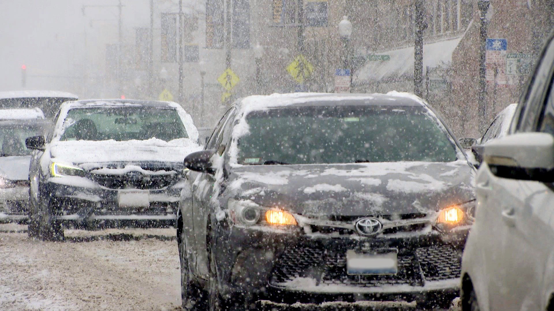
The first significant snow of the winter is set to hit the Chicago area in multiple rounds this week, beginning late Monday evening into early Tuesday, according to the National Weather Service.
Areas closest to Lake Michigan are likely to see the least amount of the white stuff, while well inland, total snowfall could top 8 inches, forecasters said.
Round one of the snow is expected to begin falling late Monday night into early Tuesday morning. It will be a sustained three- to six-hour burst of very wet and heavy snow, Gino Izzi, senior meteorologist, said during a media briefing Monday.
"It will be good snowball and snowman-making snow," Izzi said.
This type of "concrete" or "cement" snow can be physically taxing to shovel — so people should take it easy. Izzi added that it could lead to downed power lines or tree limbs if winds eventually kick up.
") (National Weather Service)
(National Weather Service)
Confidence is highest for the first round of the storm, with totals between 2 to 5 inches over much of the metro region.
Most of the snow is expected to accumulate in a brief window just prior to Tuesday's early morning commute. Though Chicago itself is set to receive the low end of the range, and temperatures could keep the snow from sticking to pavement, prepare for traffic snarls, Izzi said.
") (National Weather Service)
(National Weather Service)
The second round of snow will largely impact northwest Illinois, but there will be a sharp gradient between areas receiving greater snow totals and lesser impacts, Izzi said.
Forecasters are still uncertain where this line will set up, he said, which is most likely to affect people in northwest Cook and DuPage counties. Chicagoans could experience significantly different snow totals from lows in neighborhoods closest to the lakefront, to higher accumulation totals near O'Hare or neighborhoods such as Jefferson Park, Izzi said.
") (National Weather Service)
(National Weather Service)
Additional minor accumulations are possible Wednesday and Thursday nights before a more significant system potentially approaches Friday night, bringing frigid temperatures, according to the weather service.
Contact Patty Wetli: @pattywetli | (773) 509-5623 | [email protected]
")
")
")
")
")
")