") (National Weather Service)
(National Weather Service)
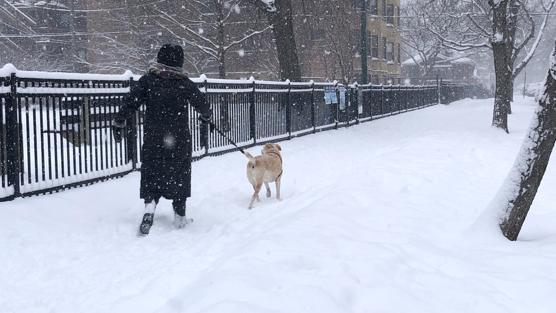
If December was a little dull, weather-wise, January is more than making up for the lack of excitement.
Meteorologists with the Chicago office of the National Weather Service are tracking yet another winter storm system headed for northeastern Illinois this weekend, with a blast of arctic air following close on its heels.
The “active weather pattern” will actually kick off with a quick hit of 1 to 2 inches of snow on Wednesday into Thursday, and the next major system will arrive Friday, meteorologist Zach Yack said during a media briefing Wednesday.
A wet rain-snow mix — reminiscent of the slop that fell in Chicago Tuesday — will gradually transition to lighter, fluffier snow late in the day Friday, Yack said.
Depending on temperatures, areas along the lakefront could once again experience far lower snow totals than elsewhere in the region, he added.
“Probable” scenarios show the city of Chicago likely to see 4 or more inches of snow, with more than 8 inches possible elsewhere in the greater metro area. High winds, with gusts in the 40- to 45-mph range, could create blizzard conditions.
Staff in the weather office are still refining their prediction of the storm’s track and the likelihood of rain versus snow, and will have greater confidence in the forecast on Thursday, they said.
What’s certain is that a deep freeze is about to blanket much of the upper Midwest. From Sunday through at least mid-week, high temperatures will be in the single digits and overnight lows will dip well below zero, Yack said.
Contact Patty Wetli: @pattywetli | (773) 509-5623 | [email protected]
")
")
")
")
")
")
