") (National Weather Service)
(National Weather Service)
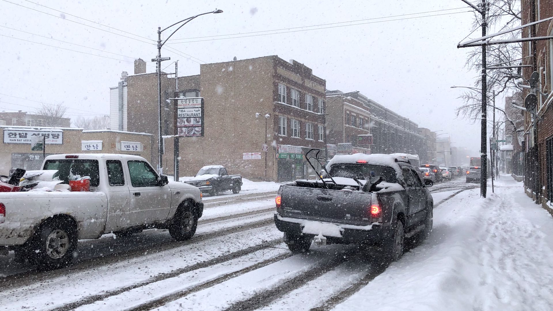
The National Weather Service has issued a winter storm warning for Chicago and the surrounding region, in effect from 3 a.m. Friday through noon on Saturday.
Two rounds of snow — one hitting Friday morning, the other late Friday afternoon — will dump anywhere from 4 inches to upwards of 8 inches of snow in total, with the greater accumulation amounts expected further inland from Lake Michigan. Of the two rounds, the worst impacts are expected Friday evening.
Meteorologists with the Chicago office of the National Weather Service said it remains uncertain how much snow will fall along the shoreline — or even 1 to 3 miles inland — depending on temperatures and whether precipitation is rain or snow. Interstate 80 could also serve as a dividing line between snow and rain.
High winds, with gusts in the 40- to 45-mph range, could create blizzard conditions, drastically reducing visibility, according to the weather office.
The first round of snow is expected to be wet and heavy, while the afternoon will be fluffier and more likely to create drifts and affect visibility, meteorologists said.
Arctic air will move in behind the storm system, plunging much of the upper Midwest into a deep freeze. From Sunday through at least mid-week, high temperatures will be in the single digits, and overnight temperature lows on Sunday and Monday could be in the 5-below to 15-below zero range.
Contact Patty Wetli: @pattywetli | (773) 509-5623 | [email protected]
")
")
")
")
")
")
